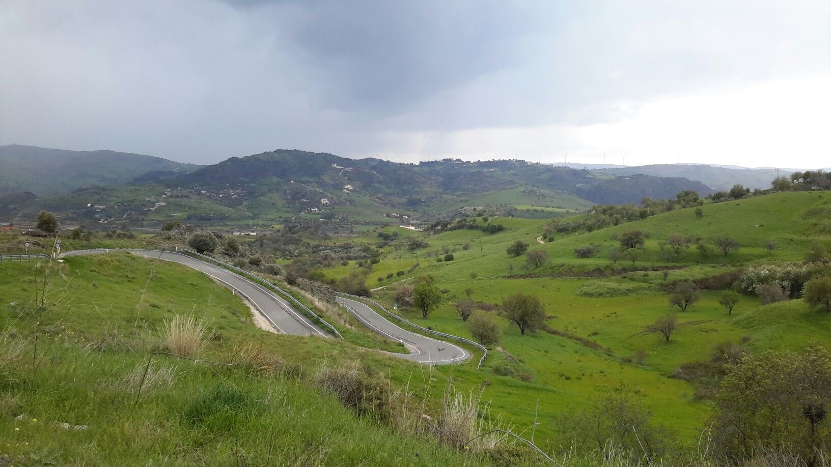
About this Route
The Amargeti Loop is a rewarding 54 km road ride into the peaceful countryside east of Paphos, combining steady climbing with quiet rural roads and traditional village scenery. The route gradually rises towards Amargeti, reaching around 460 m and accumulating approximately 820 m of elevation, before rewarding riders with flowing descents on the return. A natural stop is the Zoodochos Pigi Church in the heart of Amargeti, making this an excellent loop for cyclists looking for a manageable mix of climbing, scenery, and authentic rural Cyprus.
Route Overview


Elevation Profile
Key Climbs
2 climbs · 60m total ascent
E606 Climb
Cat 1As you gain elevation, the traffic fades away, and the views become increasingly spectacular.
Mount Mutovuri
Cat 2Stay relaxed, keep your eyes ahead, and enjoy one of the most engaging pieces of road on the route.
Route Segments
E606 Climb
As you gain elevation, the traffic fades away, and the views become increasingly spectacular.


Mount Mutovuri
Stay relaxed, keep your eyes ahead, and enjoy one of the most engaging pieces of road on the route.


The Amargeti descent
As the elevation drops away, you'll be rewarded with a descent that's every bit as memorable as the climb that came before


Stories Along the Route
No stories added for this route yet.
No restaurants listed yet